
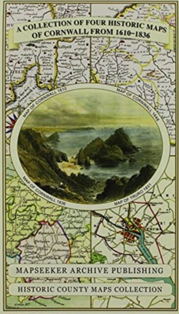
Cornwall 1611 - 1836 - Fold Up Map that features a collection of Four Historic Maps, John Speed's County Map 1611, Johan Blaeu's County Map of 1648, Thomas Moules County Map of 1836 and Robert Dawson's Reform Act Plan of Truro 1831. The maps are surrounded by Cornwall's Historic Buildings.
€26.90
Shipping in 4/5 days
Product Information
| ISBN | 9781844918256 |
|---|---|
| Authors | Mapseeker Publishing Ltd. |
| Publisher | Historical Images Ltd |
| Format | Other |
| Number of pages | 1 |
| Weight (kg) | 0.106 |
| Price (excl. tax) | €25.38 |
| Tax | €1.52 |
| Price (incl. tax) | €26.90 |
| Availability | 2 units in external warehouse |
Product Description
138 x 228 x 43