
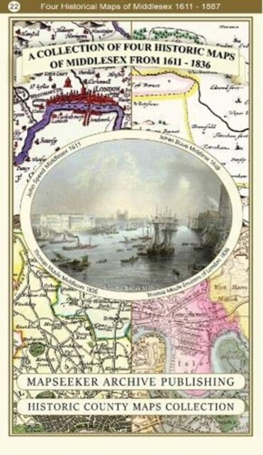
A Middlesex 1611 – 1836 – Fold Up Map that features a collection of Four Historic Maps, John Speed’s County Map 1611, Johan Blaeu’s County Map of 1648, Thomas Moules County Map of 1836 and a Map of the Environs of London 1836.
€26.90
Shipping in 4/5 days
Product Information
| ISBN | 9781844918454 |
|---|---|
| Authors | Mapseeker Publishing Ltd. |
| Publisher | Historical Images Ltd |
| Format | Paperback |
| Number of pages | 1 |
| Weight (kg) | 0.104 |
| Publishing Date | 04/01/2019 |
| Price (excl. tax) | €25.38 |
| Tax | €1.52 |
| Price (incl. tax) | €26.90 |
| Availability | 2 units in external warehouse |
Product Description
135 x 228 x 53