
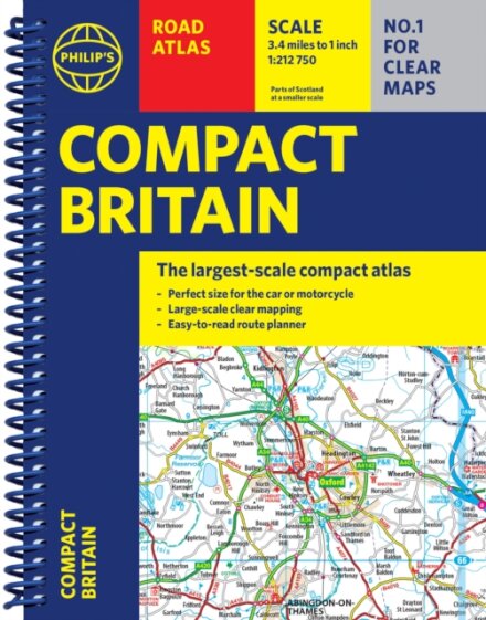
Philip's Compact Britain Road Atlas
€14.90
Product Information
| ISBN | 9781849077200 |
|---|---|
| Authors | Philip's Maps |
| Publisher | Octopus Publishing Group |
| Format | Paperback |
| Number of pages | 352 |
| Weight (kg) | 0.528 |
| Publishing Date | 01/05/2025 |
| Price (excl. tax) | €14.06 |
| Tax | €0.84 |
| Price (incl. tax) | €14.90 |
| Availability | 17 units in external warehouse |
Product Description
Newly updated in a handy spiral-bound lie-flat format, Philip''s Compact Britain Road Atlas features the super-clear digital cartography, which was voted Britain''s clearest and most detailed mapping in an independent consumer survey.
All of Great Britain in a super-clear set of maps specially created to fit in a glovebox, bag, backpack or motorcycle tank bag, with resilient lie-flat binding to ensure you have the detail you need and never get lost. A route planning section will help you navigate around the island easily and every part of Britain is clearly mapped.
- Chunky ''glovebox'' format - perfect for the car or backpack
- Lie-flat spiral binding and A5 size - ideal for a motorcycle tank bag
- Completely updated and revised with the latest information
- Compact and great value for money
- The clearest, most detailed road maps in a compact format
- Complete coverage of Great Britain at 3.3 miles to 1 inch
- Includes a 6-page route-planning section
- Spiral binding for robust, long-lasting use